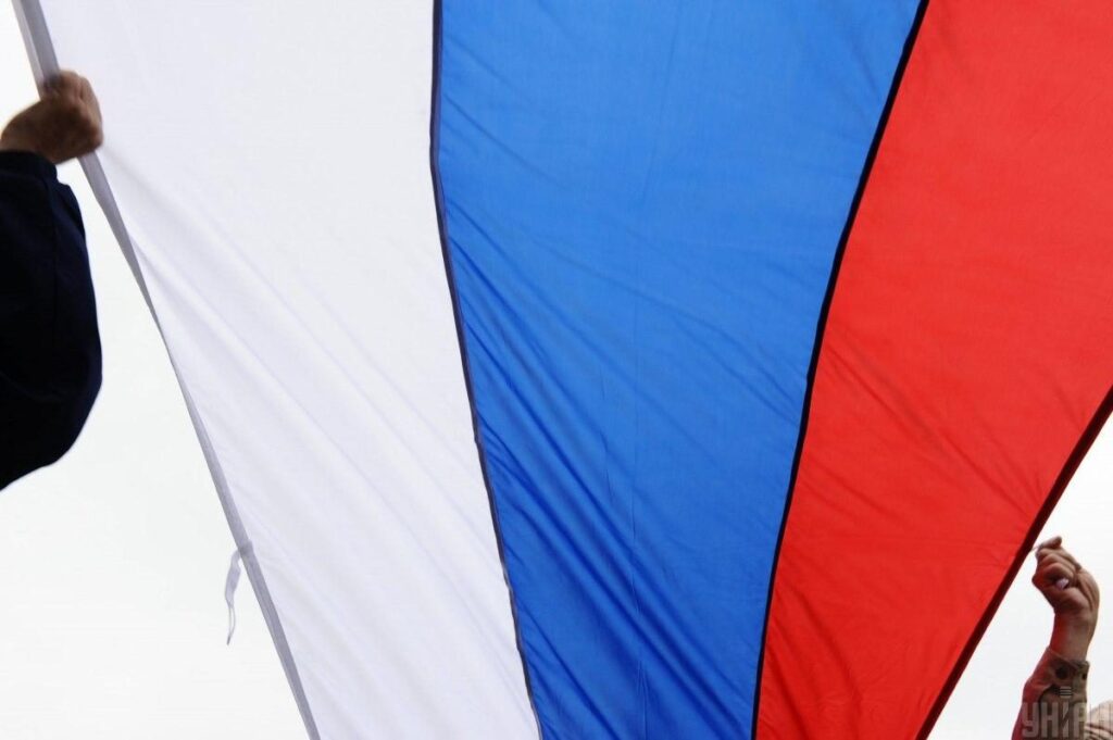
If there were those who were skeptical about the prospects of Russia’s further expansion into Europe, all illusions are now dispelled: Russia has announced that it is changing its borders. They will do this unilaterally. Not even the most incurable optimists have hope that the Kremlin might be satisfied with Ukraine and stop there.
The issue concerns the maritime border between Russia and Finland and Lithuania. It will be done unilaterally, and even the countries directly involved in the matter have not been informed about such intentions. The document discussing this was prepared by the Ministry of Defense of Russia.
Legal work is already underway to declare their internal sea waters in the eastern part of the Gulf of Finland, as well as waters near the cities of Baltiysk and Zelenogradsk (both are located in the Kaliningrad region).
Scale of Changes
It concerns the specific geographic coordinates of those points that determine the position of the baseline lines for measuring the width of the sea that is part of Russia, as well as the zone adjacent to the coastline and islands. This will occur on the border with such countries:
- Finland – the area of the Yaakha, Sommers, Holland, Rodsher, Little Tyuters, Virgund islands, as well as territory near the northern entrance cape of Narva.
- Lithuania – the Curonian Spit area in the Gdansk Bay, near Cape Taran, the southern part of the aquatorium near Cape Taran, the Baltic Spit district.
This is indicated in the annex to the resolution of the Cabinet of Ministers of Russia, published on the state portal of legal acts.
How the Russians are explained this by the authorities
The authors of the project indeed resorted to detailed explanations, which sound really strange. Therefore, the reason for the one-sided view of the borders is that the geographical coordinates mentioned in the documents from 1985 and approved by the Council of Ministers of the USSR do not correspond to the geographical situation today.
According to their version, small-scale navigation maps were used at the time, and it prevents a precise definition of the outer border of the internal sea waters of Russia. To put a new document into effect, the previous one, which was approved 39 years ago, is declared invalid.
The State Register is currently dealing with recording the change in Russia’s state border. The Ministry of Foreign Affairs will then hand over copies of the new document for storage to the UN Secretary General. These are the maps with data corrected according to Russian desire. The changes will fully take effect in January 2025.
How Lithuania and Finland Commented
The quickest was the reaction of President Nauseda of Lithuania. He dubbed it another hybrid attack from Kremlin against the West, aimed at testing NATO for unity. The outright escalation happened earlier than expected in Europe. According to the bravest predictions, it was not supposed to happen until 2025.
The Ministry of Foreign Affairs of Finland reacted more quietly. They intend to request an explanation, but they also consider such step a hybrid attack.
Reminder: Lithuania became a NATO member exactly 20 years ago, while Finland – 1 year ago.
Will there be an attack
The idea that the next targets of Russia’s attack will be the NATO countries has been expressed for a long time. Many were convinced that it would be the Baltic countries.
According to the comments made by the Chief Intelligence Directorate of the Ministry of Defence of Ukraine, the worst aspect is that the average time for Russia to fully capture the Baltic countries is seven days. Moreover, the time needed for the allies’ reaction, the transfer of units and equipment, is much longer than a week.